Place Castle Park, Cēsis
Last year we discovered the spectacular valley of the Gauja river. This year we decided to listen to you and organise the hike in the early autumn when the sun is still warm, but nature is beginning to cover in gold.
The new hike area is known as Latvia’s Switzerland – therefore it is the most challenging Trektours hike. Gauja Hike will let you experience the mountains in the Baltics!
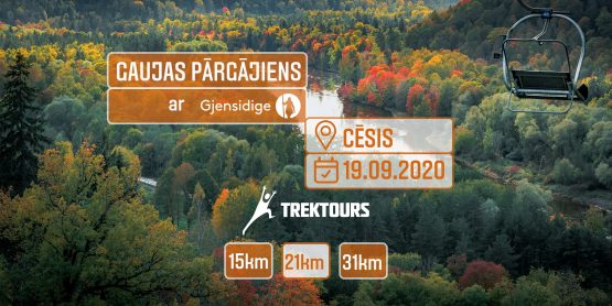
This time we will meet you at the new start and finish location – one of the most beautiful and most visited cities in Latvia, the ancient capital of Livonia – Cesis.
Attention! During the hike, we invite you to pay attention to the recommendations of the Ministry of Health, related to COVID-19. Also, please follow your registration timeframes!
ARRIVAL AREA
On the 19th of September (Saturday) all participants must arrive at the start area Cēsis, Cēsu pilsēta, Latvia (GPS: 57.314279, 25.269419)
REGISTRATION
After arriving to the start area, your ticket will be scanned (mobile versions accepted) and you will be handed out your starting package, which contains:
- control bracelet (Only participants with bracelets will be serviced at the stops);
- participant pass and a map with directions and support contacts;
- other crucial information and items.
STARTING
After registration, you are allowed to begin the hike on the designated time for your route, which can be found in the route comparison area.
HIKING
Rest and assistance stops will be set up all across the hike route, in which you are required to check-in with your participant pass. You will also be able to replenish your water supplies, have a cup of tea, grab a snack and if need be, receive first medical assistance.
TRANSPORTATION AFTER TERMINATING YOUR HIKE EARLY
Participants wishing to terminate their hike early will have to get to the nearest rest and assistance stop. From there, they will be brought back to the start area by designated vehicles. At the finish zone, participants should present their participant pass to volunteers and will receive a diploma with the exact number of kilometres walked.
FINISHING
All of the hike routes are radial, thus you will start and finish and the same place – Cēsis, Cēsu pilsēta, Latvia (GPS: 57.314279, 25.269419). Here, the participants who have successfully completed their chosen route will be awarded with nominal diplomas (on demand) and medals. However, the hike is not a race, thus your time will not be recorded and there will be no rewards for the first hikers crossing the finish line.
See you in the Baltic mountains!